
Common observations
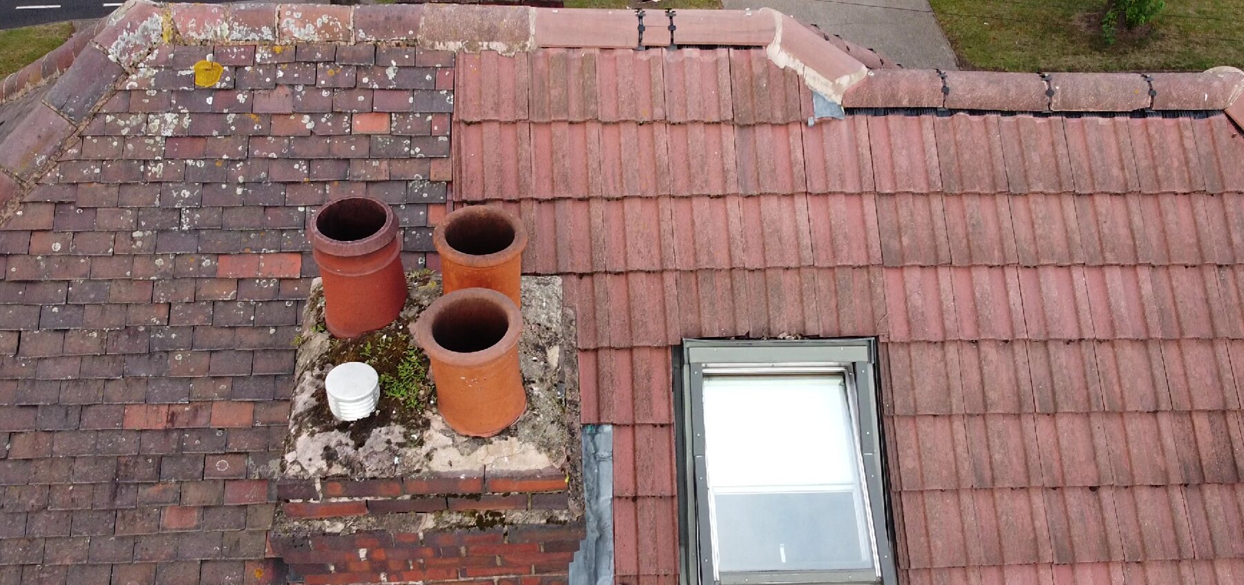
Aerial imagery can help record the visible condition of roof coverings, junctions and rainwater details.
- Slipped, cracked or missing tiles
- Condition of ridges, hips and valleys
- Chimney stacks, flashings and pointing
- Rooflight perimeters and visible seals
- Blocked or damaged gutters where visible
Understanding the limitations
A drone survey is a visual inspection. It cannot confirm concealed construction, moisture levels beneath coverings or the condition of areas that cannot be seen in the imagery.
Any concern that requires physical testing, opening-up or close contact should be followed by an appropriately scoped inspection.
Useful evidence for decisions
Clearly labelled photographs can help owners, contractors and advisers understand the location of visible issues and decide what should happen next. Flight feasibility remains subject to weather, airspace and site conditions.